Spatial Lens
About this game
The Spatial Lens application is a VR client that provides access to e-learning tutorials stored in the 3D Tiles format. The current version of the application allows access to e-learning tutorials available on the Mendel University in Brno server. In future updates, it will be possible to add your own services. The purpose of the application is to provide an immersive learning environment, especially for spatial-data-based courses (geography, environmental science, history, etc.). Experience a new dimension of geographical exploration in virtual reality. Join friends, communicate via voice chat, and investigate the Earth using professionally prepared data from dynamic water layers to educational videos and interactive quizzes.
Here is what you can do in our spatial VR environment:
Experience a new dimension of geographical exploration in virtual reality. Join friends, communicate via voice chat, and investigate the Earth using professionally prepared data from dynamic water layers to educational videos and interactive quizzes.
Here is what you can do in our spatial VR environment:
1. Control Dynamic Water Layers
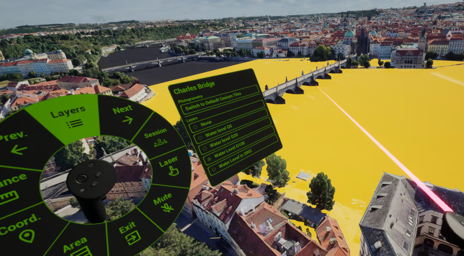 Visualize complex flood scenarios and water levels in real-time. Use the intuitive UI to toggle between different states from standard river flows to historical floods. Directly over detailed 3D photogrammetry models of real-world locations.
2. Precise Spatial Measurements
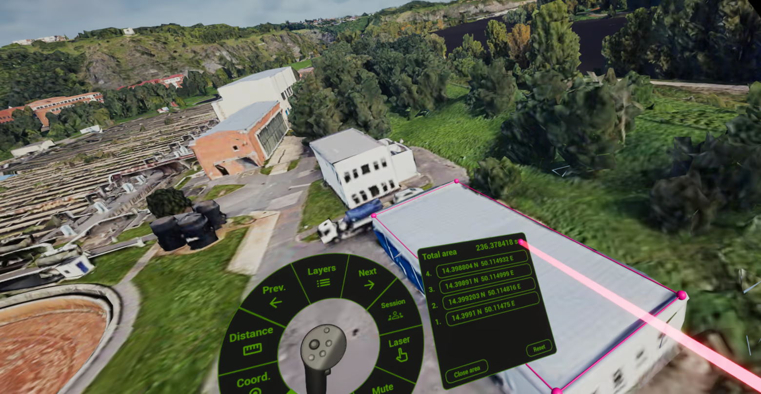 Turn your VR controllers into precise surveying tools. Select points in the 3D environment to instantly calculate exact distances, determine accurate GPS coordinates, and measure the total area of buildings or terrain.
3. Collaborate & Learn Together
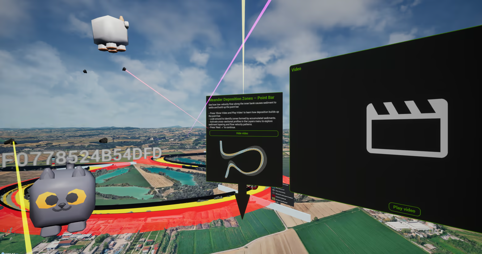 Invite friends to your session and explore prepared educational modules as a team. Discuss your findings using the integrated voice chat while seamlessly interacting with multimedia content, geographical data, and quizzes.
4. Complete Session Management
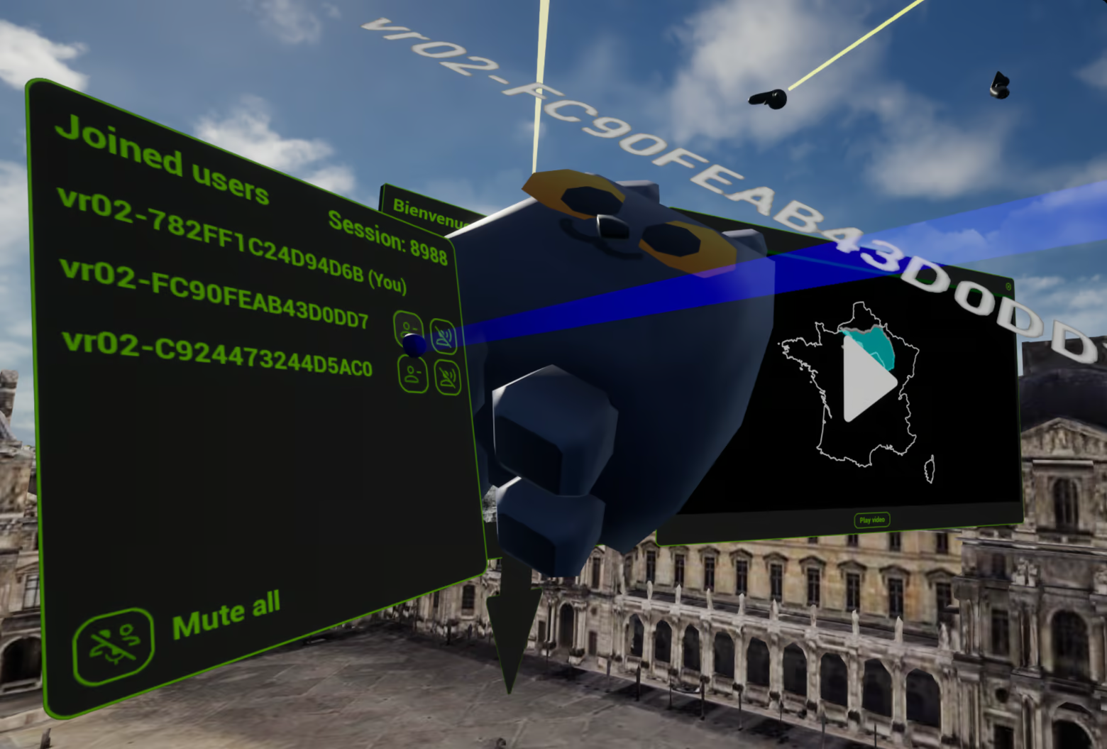 Maintain full control over your multiplayer experience. As the host, you have access to a robust admin panel allowing you to manage participants, mute individual or all microphones, and kick disruptive players to ensure a focused environment.
Key Features Summary:
Immersive VR Exploration: Discover highly detailed 3D models of real cities and landscapes.
Water Simulations: Control and visualize various flood scenarios and water levels.
Professional Measurement Tools: Calculate distances, areas, and pinpoint GPS coordinates.
Seamless Multiplayer: Cooperate with friends in real-time.
Integrated Voice Chat: Communicate naturally within the VR space.
Educational Content: Access prepared modules featuring videos and quizzes.
Admin Controls: Full session management with mute and kick functionalities.
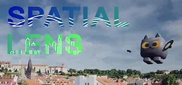
Experience an interactive, multiplayer virtual reality globe designed for collaborative geographical discovery. Uncover educational landmarks worldwide, analyze complex water layers, and utilize precise tools to measure distances and areas alongside friends in real-time.